British Army Covid-19 Information System Wins International Award
Data platform created by the UK military during the Covid crisis wins global recognition.
12 September 2021
<center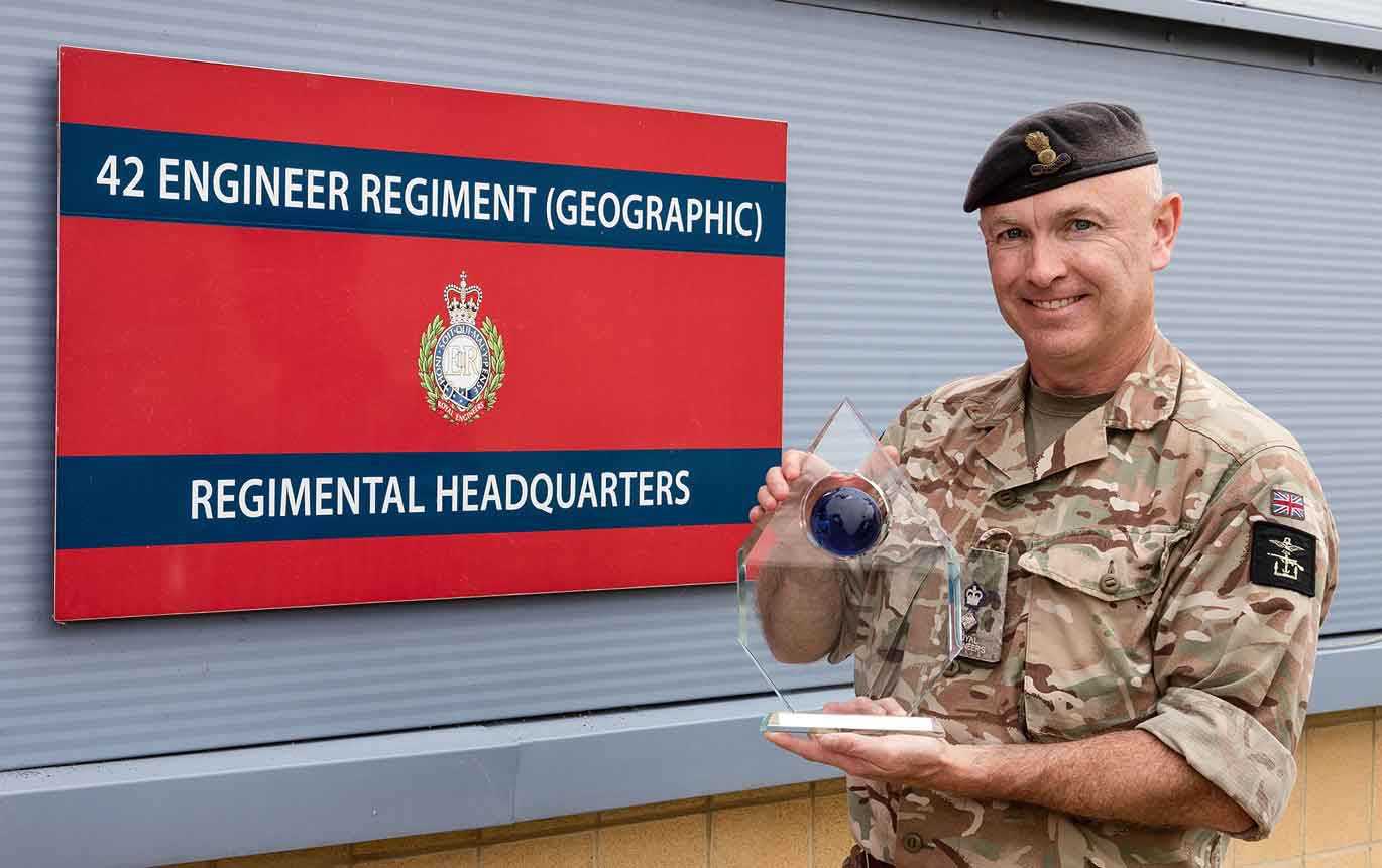 Lt. Col. Alex Harris, from 42 Engineer Regiment with the Esri Special Achievement Award in Geographic Information Systems
The British Army’s 42 Engineer Regiment geospatial intelligence experts have won international recognition for a data platform they developed to assist decision-makers during the UK’s emergency COVID-19 Response.
The UK national data platform, the first to be created by the UK military for a national civilian crisis, enabled rapid decision-making and collaboration across more than 1,000 users in government, health, the military and multiple agencies during the Covid crisis. It broke new ground by overlaying COVID-19 incidence data with NHS infrastructure, hospital bed capacities, population demographics, partner facility locations and available personnel numbers.
The data platform won 42 Engineer Regiment (Geographical) the 2021 Esri Special Achievement in Geographic Information Systems (SAG) Awards. The awards recognise organisations that have set new precedents and improved the world using geographic information systems (GIS).
In March 2020 the crisis triggered an urgent need for collaboration and daily decision making and 42 Engineer Regiment (Geographic) (42ER) were tasked with providing a common operational picture of the fast-evolving national emergency.
42ER drew on its experience using GIS to co-ordinate humanitarian operations and within days created a secure, web-based COVID-19 Viewer using Esri’s ArcGIS Online solution. This gave instant access to the same trusted, real-time data to all parties to make faster and more informed decisions, and to effectively deploy limited resources, to save lives, protect the NHS and combat the pandemic.
Its geo-intelligence specialists were embedded as advisors within Government and the NHS. Their analysis combined multiple streams of location and time-based data to identify the optimum locations for COVID-19 Testing Centres and the selection and revision of proposed Nightingale hospitals and other care sites.
In tandem 42ER used Esri’s ArcGIS mobile survey application, Survey 123, to enable the Military Assessment Teams visiting potential Nightingale sites to collect and immediately upload field data, enabling planners to rapidly decide the site’s suitability.
The Geo-cells also supported the Joint Biosecurity Centre using Esri technology to map and visualise the regional distribution of COVID-19 case and death rates, which have been used in the UK Government’s COVID-19 Briefings to the nation. Captain Luke Parker, 42ER support lead, says: “The online GIS platform helped lots of different organisations to work together to make the big decisions about how the UK responded to the pandemic.”
Adrian Friend, Head of Defence, National Security & Public Safety,at Esri UK, says: “The ability to deliver time-sensitive information advantage into the hands of decision-makers during such a period of uncertainty and crisis is a fantastic achievement.“